01 / When
Come in winter
30 April to 1 October, best June to August. Highs of 20–21°C (68–70°F), lows near 7°C (45°F). Cold and dry means good friction.
The season, month by monthCederberg · Western Cape · South Africa
World-class sandstone, three hours north of Cape Town. Your permit, your season, your crash pad and your bed, sorted before you fly.
The place
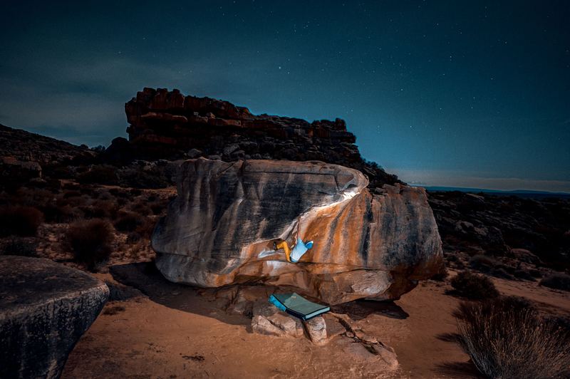
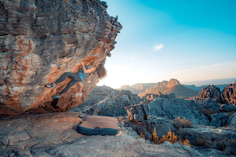
Roughly three thousand problems on coarse, orange, famously grippy sandstone, spread across CapeNature land and four farms on the Pakhuis Pass. Climbers fly in for the cold, dry Cederberg winter. Sort four things and you arrive ready.
Sort these four things
30 April to 1 October, best June to August. Highs of 20–21°C (68–70°F), lows near 7°C (45°F). Cold and dry means good friction.
The season, month by month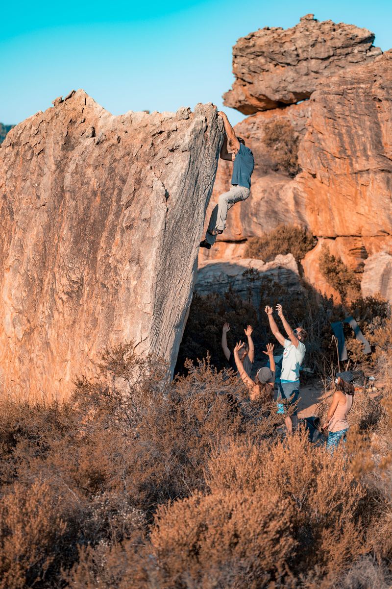
R80 a day, R260 a week, from CapeNature. Required on all five properties, and capped at 100 climbers a day, so buy ahead in the busy months.
Every tariff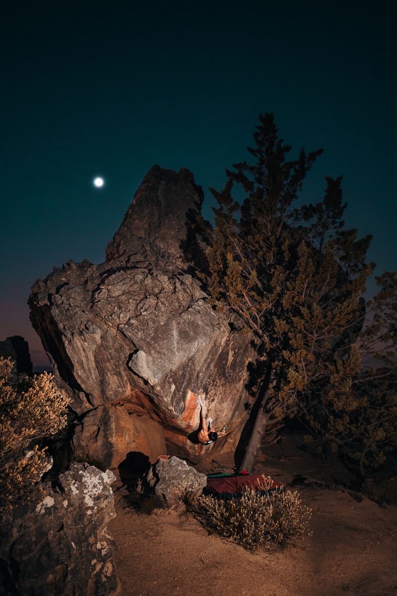
Five on the R364: Kliphuis, de Pakhuys, Kleinfontein, Rocklands Basecamp and Traveller's Rest. June to August fills up, so book well ahead.
See them on the map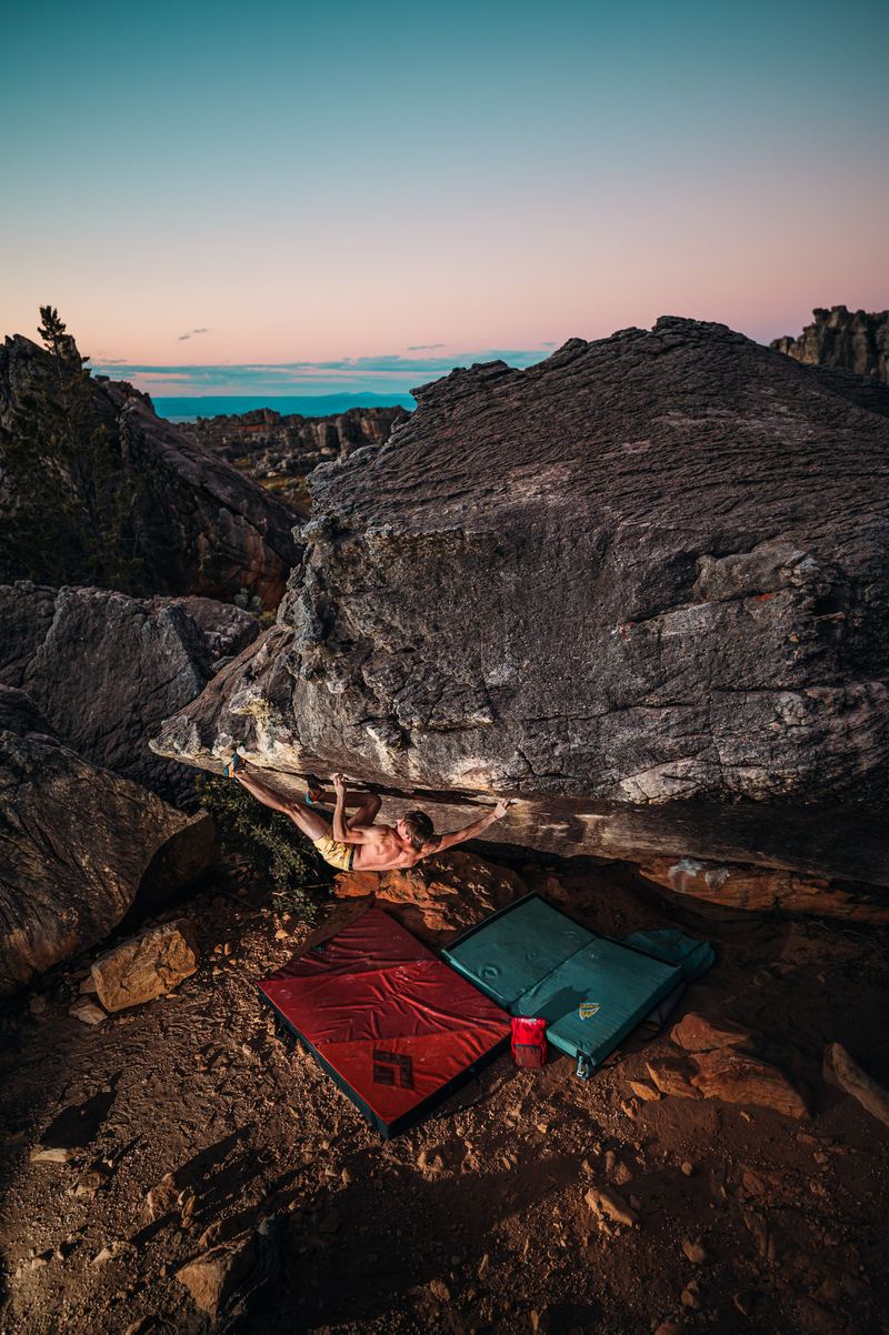
You don't have to fly with one. de Pakhuys, Rocklands Basecamp and Alpha Excelsior rent pads, or book one through Padadise and collect it at Traveller's Rest. Reserve yours when you book the bed.
Crash pads and gearPermits
CapeNature's Kliphuis plus the farms de Pakhuys, Traveller's Rest, Agter Pakhuis and Kleinfontein. Carry it while you climb; landowners do check.
CapeNature tariffs, August 2026. Also sold in person at the Kliphuis office and at de Pakhuys; Traveller's Rest asks you to buy online. Confirm with CapeNature before you travel.
When to go
A winter-rainfall climate: cold, mostly dry days with rain fronts between them. Build in rest days and never climb the sandstone wet.
Averages for Clanwilliam, about 700 m lower than Rocklands, from Weather Spark. Rocklands runs 3–5°C colder. January and February share one published figure; March and October to December have none on our source, so they are left blank rather than guessed.
Cold nights, dry rock,
and a sky that turns.
The sectors
We don't reprint topos. The people who wrote them deserve the sale.
Mountain Project The Topo theCragWhat climbers say
We have never climbed here on your behalf. So we keep a checked list of what other climbers, magazines and film-makers say about Rocklands: seven films and seven articles, each one credited and linked to whoever made it. Watch a season before you book one.
CapeNatureUKClimbingField MagBlisterSCARPAGripstoneShe Dreams Of Alpine
All seven films and seven readsWhere to stay
The real ground, from satellite elevation data: the R364 climbing over the Pakhuis Pass, the three basecamps we have verified GPS for, and five bouldering sectors placed where two independent climbing databases agree. Heights are exaggerated 1.5 times so the pass reads. Drag to turn it, or pick a pin to fly there.
−32.0708, 19.0756Book direct−32.1204, 19.0594Book direct−32.1355, 19.0037Book via CapeNatureDistances from Clanwilliam. Booking links go to each place's own site: we are a guide, not a middleman. Terrain: SRTM elevation (U.S. Geological Survey) via AWS Terrain Tiles, about 30 m resolution; road © OpenStreetMap contributors. Sector pins are approximate centres, the mean of Mountain Project and ClimbingAway (they agree within 60 m to 1.1 km); Sassies and Roadside appear in only one, so they are not plotted. For the boulders themselves, use the guidebook and the topo apps.
Fly to Cape Town, drive the Pakhuis


